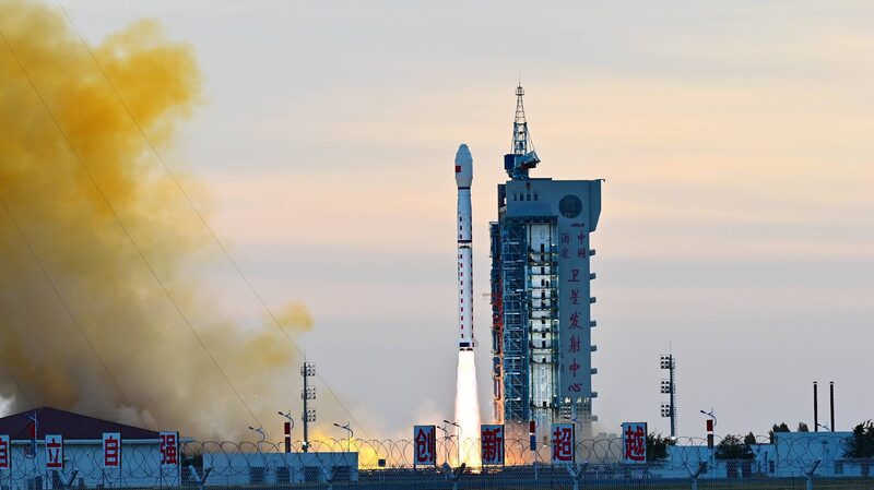
When a dike at Central China's Dongting Lake ruptured last week, high-tech heroes soared into action—from space. 🌍 China deployed its Gaofen satellite fleet to monitor flood zones and streamline rescue operations in Hunan Province, blending cutting-edge tech with disaster response.
The Gaofen-3 02, Gaofen-3 03, Gaofen-1, and Gaofen-4 satellites snapped real-time images of the crisis, conducting five monitoring sweeps in just 24 hours. 📡 'These orbiting guardians provide crucial data to guide ground teams,' said the China Centre for Resources Satellite Data and Application (CRESDA), which fast-tracked info to emergency crews.
Dongting Lake, a vital freshwater hub roughly 10 times the size of Singapore, now faces a race against time. Satellite mapping helps pinpoint evacuation routes, assess damage, and track water flow—proving tech isn't just for TikTok trends. 💡🚀
This isn't the first time China's satellites have aided disaster relief. But with climate extremes on the rise, such missions highlight how innovation is rewriting survival playbooks. Stay tuned as this story develops!
Reference(s):
Central China's dike breach: Satellites join relief operations
cgtn.com


