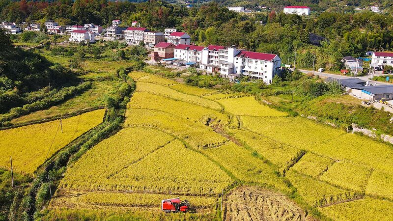
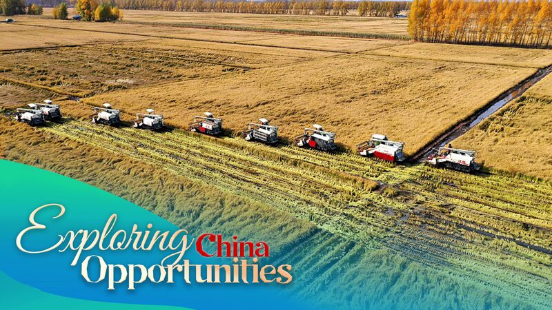
Forget scrolling through TikTok—farmers in China’s northeastern Jilin Province are checking satellite images to protect their crops! 🌾 Lishu county, a key player in the country’s 'golden maize belt,' is now using cutting-edge space tech to monitor farmland and boost harvests. Talk about farming meets the future! 💡
CGTN’s BizFocus team followed reporter Xu Yi to see how this innovation works. Drones and satellites track soil health, crop growth, and even predict pests, giving farmers real-time data to make smarter decisions. Imagine getting a weather app alert… but for your entire cornfield. 📲🌽
This isn’t sci-fi—it’s part of China’s push to modernize agriculture and ensure food security. Locals say the tech helps them save time, reduce waste, and grow stronger crops. As one farmer joked: ‘My grandpa used a hoe. I use satellites.’ 👨🌾🚜
Reference(s):
BizFocus Ep.107: Satellite images help China's farmers monitor crops
cgtn.com
