Hold onto your phone chargers – China's first water conservancy satellite just beamed down its debut snap of Earth! 📸 The Shuili-1, part of a new high-tech constellation, captured a stunning view of the Yellow River in Inner Mongolia, revealing frozen sections and drainage systems like nature's own fingerprint.
Space Tech Meets Water Security
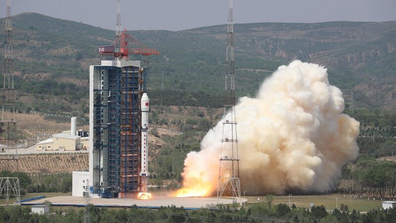
Launched in December with three SAR satellite squadmates from Shanxi Province, this orbital dream team can peer through storm clouds ⛈️ to monitor floods, reservoirs, and river systems. Think of them as Earth's 24/7 water guardians with X-ray vision! 🦸♂️
'This isn't your average Instagram filter,' says water resources expert Chen Deqing. 'Even during typhoon season, these satellites process data mid-orbit like cosmic supercomputers 🖥️💫.' The system will fully activate before 2025's flood season, giving emergency teams real-time intel.
Why Tech Lovers Are Obsessed
• All-weather imaging 🌤️⛈️❄️
• Instant flood pattern analysis 🌊
• Nationwide infrastructure monitoring 🏗️
• Constellation teamwork with 7 other satellites 🛰️🚀
This isn't just space bling – it's climate resilience meets AI-powered Earth science. Ready for your close-up, Planet Earth? 🌏✨
Reference(s):
cgtn.com


