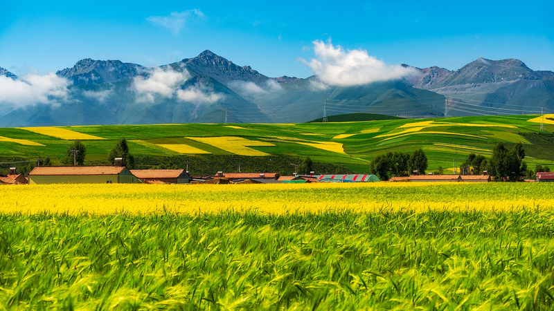
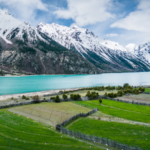
Scientists are giving Mother Nature a tech upgrade! 🚀 A groundbreaking satellite-powered dataset now maps cultivated pastures across the Qinghai-Xizang Plateau – Earth’s highest and most fragile ecosystem. Dubbed the "Roof of the World," this region’s grasslands are critical for biodiversity and climate stability.
Researchers from Lanzhou University, Peking University, and the Chinese Academy of Sciences teamed up to analyze decades of satellite data 📡, creating the first detailed record of human-impacted pastures. Published in Earth System Science Data, the project acts like a Fitbit for the planet 🌱, tracking land-use changes to prevent overgrazing and soil degradation.
Why care? The plateau feeds Asia’s major rivers and stores gigatons of carbon. With climate change accelerating, this dataset is a game-changer for policymakers and eco-warriors alike 💪. Think of it as Google Maps for sustainability – helping balance local livelihoods with planetary health.
Reference(s):
Pasture dataset boosts eco‑protection on Qinghai‑Xizang Plateau
cgtn.com
