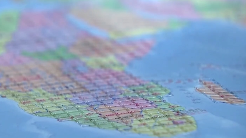
In a landmark move for accessibility, China has unveiled its first-ever tactile maps designed for visually impaired users! 🗺️ The Accessible Map of China and Accessible Map of the World, released ahead of International White Cane Day (October 15), use cutting-edge digital Braille printing to make geography inclusive. Think textured borders, raised landmarks, and distinct ocean-continent contrasts—all following national standards to ensure accuracy. 👏
But wait, there’s more! 🤩 The Palace Museum and China Disabled Persons' Federation also dropped tactile books like Touch the Treasures of the Palace Museum. These combine Braille, 3D textures, and audio guides to let users 'feel' iconic artifacts like the Qingming Scroll. Imagine tracing centuries of history with your fingertips! 🖐️📜
This isn’t just about maps—it’s a sensory revolution. By blending tech and culture, China’s opening doors for millions to explore the world and its heritage. 🌏❤️
Reference(s):
China unveils first accessible maps for visually impaired users
cgtn.com


