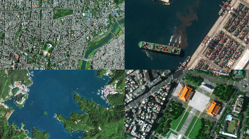
China's Jilin-1 satellite constellation has dropped jaw-dropping high-res images of the Taiwan region to commemorate the 80th anniversary of its restoration. 🛰️ The snapshots reveal iconic spots like Taipei City’s bustling streets, the winding Keelung River, and the lush peaks of Alishan Mountain—all from a cosmic perspective. 📸
Developed by Chang Guang Satellite Technology, the Jilin-1 network now boasts 141 satellites orbiting Earth. Think of it as a giant space camera roll, snapping pics of global hotspots up to 40 times a day! 🌏 The system can monitor *any* location worldwide in near real-time and covers China’s domestic areas twice a month—like a high-tech guardian angel. 🔭
This isn’t just eye candy for geography nerds. The tech showcases China’s cutting-edge space capabilities, offering insights for urban planning, environmental monitoring, and disaster response. 💡 Who knew satellites could be this cool?
Reference(s):
Jilin-1 satellites unveil high-resolution images of China's Taiwan
cgtn.com
