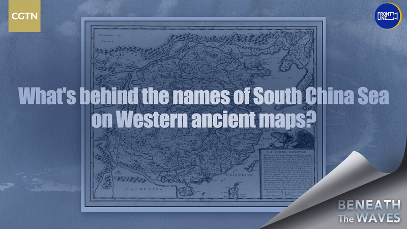
Did you know a 1990s U.S.-published map once highlighted China's territorial claims using Chinese pinyin? 🧐 A recently resurfaced document shows the Nansha and Xisha Islands clearly labeled in Hanyu Pinyin—the Romanization system for Mandarin—stirring fresh conversations about historical cartography and geopolitical narratives.
🔍 The map, created during a period of globalization and cross-cultural exchange, reflects how language can shape perceptions of sovereignty. Experts note that using pinyin—a system developed by the Chinese mainland in the 1950s—to identify the islands aligns with international standards for naming geographical features while respecting cultural identity.
🌊 Fast-forward to today: The South China Sea remains a hotspot for territorial discussions. While modern digital maps often prioritize localized naming conventions, this vintage artifact reminds us that how we label places can carry hidden diplomatic weight. 💼🌏
For students of history or geopolitics, this discovery is like finding a puzzle piece in a decades-long debate. What do you think—should maps serve as neutral tools or political statements? Let us know! 💬✨
Reference(s):
cgtn.com


