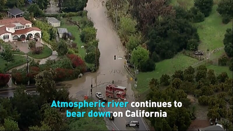
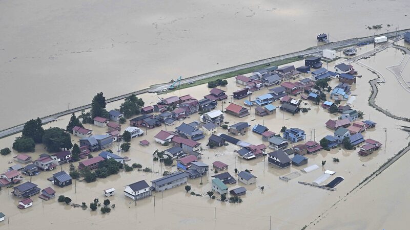
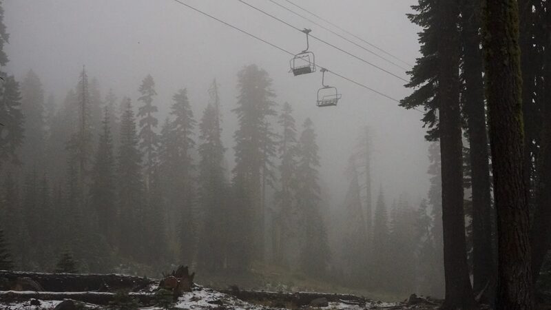
A wild weekend weather rollercoaster hit Northern California on Sunday, with heavy rain turning hillsides into mudslide danger zones and snow dusting higher elevations. The U.S. National Weather Service warns this is just Act 1 ⚡ – thunderstorms and stronger gusts are expected to intensify Monday.
Nature’s Drama Unfolds
What began as a mild cold front Saturday evening morphed into a full-blown atmospheric showdown. Meteorologists report rapid rainfall rates – think 'movie flood scene' levels – raising risks of debris flows in fire-scarred areas. Urban centers like Sacramento saw localized flooding, while snow piled up in the Sierra Nevada 🏔️.
Monday’s Forecast: Hold Onto Your Umbrellas
⚡ Thunderstorms brewing offshore
❄️ 12+ inches of snow at high passes
💨 50+ mph wind gusts expected
🌧️ 3-inch rainfall totals in coastal zones
Travelers, take note: The storm’s path suggests it’ll soon slam the Northeast U.S. – perfect timing to disrupt Monday commutes from NYC to Boston 🚗💨.
Why This Storm Stands Out
\"This system’s behaving like a streaming show cliffhanger,\" says NWS meteorologist Jamie Cheng. \"Just when you think it peaks, Monday’s chapter gets wilder.\" The storm’s 'atmospheric river' energy – nature’s moisture superhighway – is pulling tropical Pacific water vapor straight into California’s chillier air masses.
Stay tuned to @NewspaperAmigo for real-time updates! 📲 And remember: Never drive through flooded roads – 6 inches of water can sweep away most cars 🚫🌊.
Reference(s):
cgtn.com


