Hold onto your hats, climate watchers! 🌪️ The El Niño event that kicked off last year is set to wind down by April, but its weather-disrupting legacy will linger long after—especially across China this summer, according to the China Meteorological Administration (CMA).
Dubbed the 'Pacific troublemaker,' El Niño peaked in December 2023, reshaping global weather patterns. Now, experts say a rare triple-dip transition from La Niña to El Niño, ongoing since 2020, will finally complete this spring. But the real drama starts post-April: historical data shows summers following El Niño often deliver unpredictable weather swings in China. 🌡️
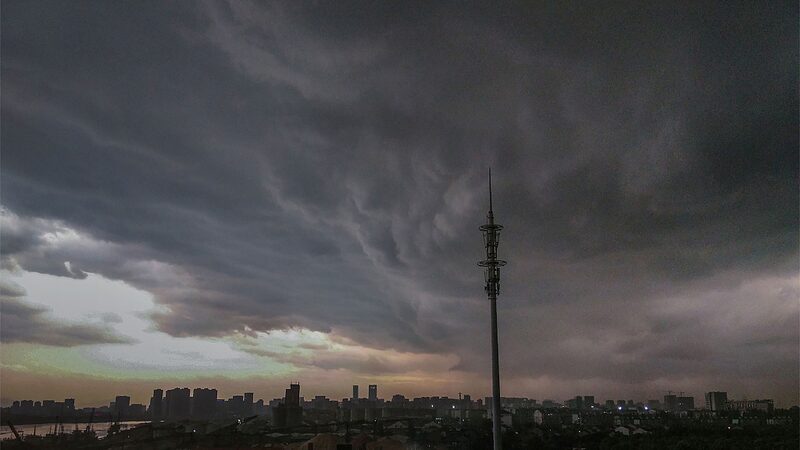
Here's the science scoop 🧪: Warming Indian Ocean temps between May and June could turbocharge the western Pacific subtropical high—a key player in China's climate system. This combo, plus lingering Pacific-Indian Ocean interactions, might crank up extreme weather risks. Meanwhile, the U.S. National Oceanic and Atmospheric Administration flags a 62% chance of La Niña (El Niño's cooler 'sibling') arriving by August, potentially fueling stormier conditions in Asia. 🌀
'Think of it as a climate relay race,' says one meteorologist. 'El Niño hands the baton to La Niña, but both leave footprints.' The CMA is urging cities to boost flood-preparation efforts, hinting at a summer that could swing between droughts and deluges. 💧🔥
TL;DR: Pack your umbrella and sunscreen this year—China’s weather is prepping for a wild ride. Stay tuned for updates!