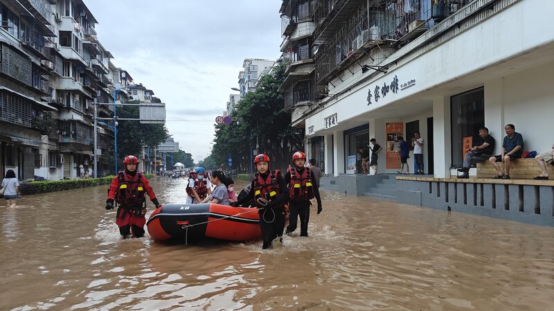
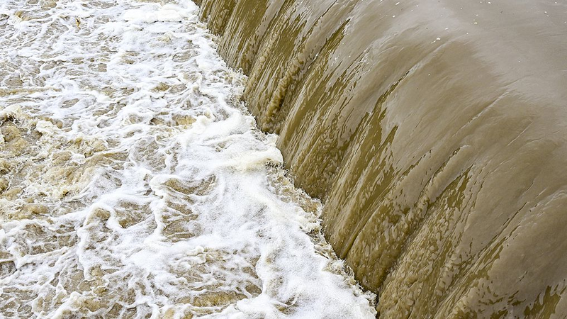
Guilin’s iconic karst mountains and Li River are facing an unprecedented challenge as floodwaters reached historic levels early Thursday. The water level at Guilin’s hydrological station hit 148.88 meters – nearly 3 meters above the danger line – surpassing the 1998 flood record that once defined the region’s worst natural disaster.
What’s Happening? 🌧️
Torrential rains have drenched Guangxi Zhuang Autonomous Region this week, turning streets into rivers and prompting urgent evacuations. Local authorities reported over 20,000 residents relocated as emergency teams worked overnight to reinforce embankments.
Why It Matters 🚨
The 1998 floods affected millions across China, and breaking that record raises concerns about climate resilience. \"This is a wake-up call for infrastructure adaptation,\" said Li Wei, a local environmental researcher. Social media buzzes with dramatic footage of submerged bridges and boats navigating urban areas – a surreal blend of crisis and viral content.
What’s Next? ⚠️
Meteorologists predict more rainfall in southern China this weekend. Travelers planning trips to Guilin are advised to check alerts, while investors watch for impacts on Guangxi’s tourism-driven economy. Meanwhile, volunteers distribute supplies as the city rallies to protect its UNESCO World Heritage sites from water damage.
Reference(s):
Water rises to record levels due to heavy rainfall in Guilin
cgtn.com


