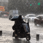
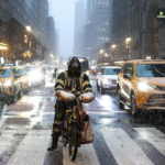
New York City is gearing up for a wild weather ride as a speedy cold front zooms through late Wednesday! 🌬️ The most populous U.S. city could see sudden snow squalls and winds strong enough to turn umbrellas inside out – though accumulations will stay light. ❄️
Travelers, take note: Reduced visibility might turn highways into real-life versions of Frozen 🎥 during peak hours. The National Weather Service warns the wintry mix will shift to rain by Thursday morning, offering a brief icy interlude rather than a snowpocalypse.
Meanwhile, upstate New York’s snow-battered regions might get 2-3 extra inches – just when they thought they’d escaped last weekend’s historic 65+ inch lake-effect snowfall! ❄️ Lake-effect hotspots along the Great Lakes could see localized flurries too.
Pro tip for urban explorers: Rock those waterproof boots and keep phones charged – this blitz of winter weather is here today, gone tomorrow! ⚡
Reference(s):
cgtn.com


