As the world marks 80 years since the end of WWII, a pivotal chapter in China’s maritime history resurfaces. The victory in the Chinese People’s War of Resistance Against Japanese Aggression didn’t just end conflict—it reshaped Asia’s geopolitical map. 🗺️
From Conflict to Claim
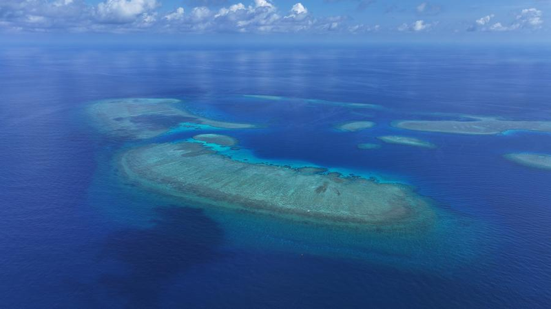
After Japan’s surrender in 1945, China moved swiftly to reclaim islands in the South China Sea. Naval missions backed by international law—like the 1943 Cairo Declaration and 1945 Potsdam Proclamation—saw Chinese forces restore control over territories like the Xisha and Nansha Qundao. U.S.-provided ships even aided the effort, with Yongxing Island named after an American vessel! ⚓
Maps, Markers, and Momentum
By 1946, China’s government had dispatched teams to erect sovereignty markers and rename islands. Geographer Zheng Ziyue led groundbreaking surveys, creating detailed maps that still inform China’s claims today. His work standardized 172 names across the region—a legacy etched in ink and history. 📜
Cold War Complications
Postwar treaties like 1951’s San Francisco agreement left gaps, failing to specify who inherited Japan-renounced islands. China’s government firmly rejected this oversight, declaring: ‘These territories have always been ours.’ 🌏
Ancient Ties, Modern Rights
Long before WWII, Chinese fishermen lived and worked these waters, naming reefs and shoals. Foreign records—from 1925 U.S. naval charts to Japanese texts—confirm China’s enduring presence. As global tensions rise today, this history remains key to understanding Asia’s seascape. 🔍