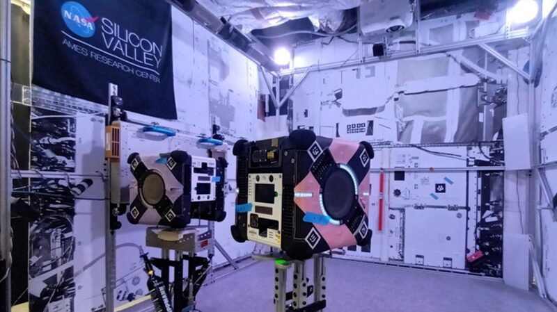
Move over, sci-fi movies 🌌—Australian innovation is taking space exploration to the next level! A cutting-edge 3D mapping system developed by the Commonwealth Scientific and Industrial Research Organisation (CSIRO) has arrived at the International Space Station (ISS) aboard a SpaceX rocket, aiming to create ultra-detailed maps of the orbiting lab like never before.
Game-Changer for Astronauts
The tech, built in partnership with Boeing, NASA, and the ISS National Lab, combines two breakthrough CSIRO tools to scan the station’s interior. Think of it as a ‘Google Maps for space’ 🛰️: it’ll track equipment movement and help crews plan tasks more efficiently. 'This could be a game-changer for missions where humans aren’t always onboard,' says CSIRO’s Marc Elmouttie.
Beyond the ISS
If successful, this tech could revolutionize lunar exploration and uncrewed spacecraft operations. Elmouttie teased, 'Once we nail this, the sky’s the limit!' 🌕 Future applications might even support moon bases—yes, we’re talking actual moon logistics!
Why It Matters
For young innovators and space enthusiasts, this project highlights how global teamwork + tech can push humanity further into the cosmos. And hey, it’s proof that Aussie brains are reaching for the stars—literally! 🇦🇺✨
Reference(s):
cgtn.com


