China’s cutting-edge Beijing-3C satellite constellation just delivered its debut snapshot of Earth – and it’s giving ‘Instagram vs. reality’ vibes (but way more scientific)! 📸 The image, received Tuesday by a ground station in Beijing, reveals razor-sharp details of riverside architecture with vivid colors and crisp textures – like a 4K nature documentary frame.
Why This Launch Matters 🚀
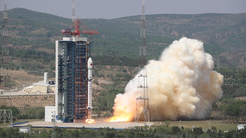
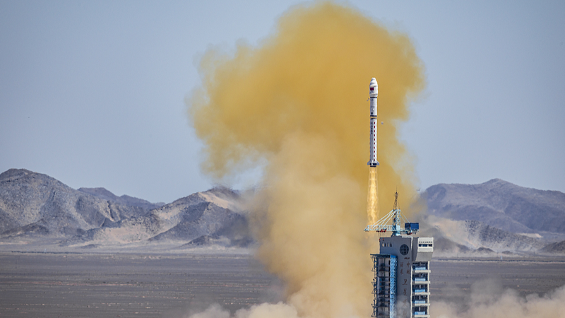
A Long March-2D rocket blasted the satellite into orbit Monday, completing China’s latest push for ‘eyes in the sky’ tech. The four-satellite network will soon scan Earth daily, providing hyper-detailed data for:
- 🌾 Tracking crop health
- 🏙️ Monitoring urban sprawl
- 🌳 Assessing environmental changes
Think of it as a Swiss Army knife for Earth observation – helping scientists and planners make smarter decisions with real-time insights. 🔭✨
Reference(s):
cgtn.com
