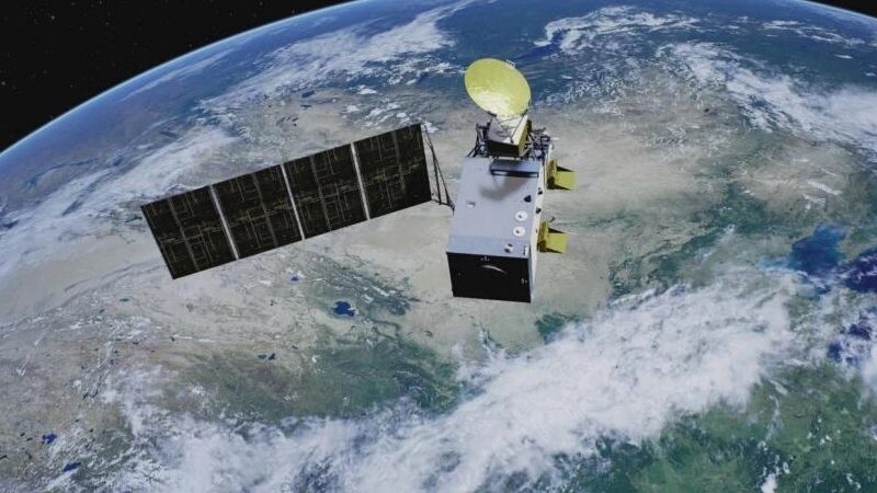
When disaster struck central China’s Dongting Lake last week, tech met tenacity as Fengyun satellites and commercial space partners raced to aid flood victims. 🌍✨ A dike breach in Hunan Province’s Yueyang City triggered rapid flooding, but China’s ‘sky guardians’ provided critical real-time data to thousands of rescuers on the ground.
The Fengyun-4B and Fengyun-3F satellites—think of them as meteorological superheroes—used advanced sensors to track weather patterns, precipitation, and flood expansion. 🚀📡 Their data helped emergency teams predict risks and prioritize rescue operations. Meanwhile, commercial satellites like Jilin-1 captured high-res images showing the breach widening, sounding the alarm for urgent action.
‘This isn’t just about satellites—it’s about saving lives,’ said a developer from the Shanghai Academy of Spaceflight Technology. Teams from SmartSat-X1 and Taijing-4 also joined the mission, proving that public-private partnerships can turn disasters into stories of hope. 💪🌏
With Dongting Lake being China’s second-largest freshwater lake, the stakes were sky-high. But thanks to round-the-clock monitoring and next-gen tech, responders minimized damage—a reminder that innovation is humanity’s best lifeline. 🌟🇨🇳
Reference(s):
China deploys array of satellites to help battle Dongting dike breach
cgtn.com


