In a groundbreaking move for climate science, the world’s first atlas of remote-sensing thermal infrared images has officially launched at the 4th International Forum on Big Data for Sustainable Development Goals in Beijing. 🌐✨ This high-tech ‘heat map’ of Earth is set to revolutionize how we tackle environmental challenges like climate change and urban heat islands.
Satellite Science Meets Sustainability
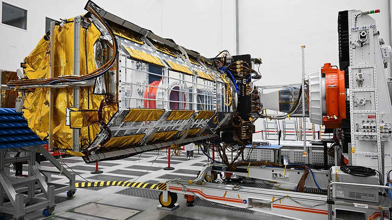
Developed by the Beijing-based International Research Center of Big Data for Sustainable Development Goals (CBAS), the atlas relies on data from the SDGSAT-1 satellite 🛰️—launched in 2021 as the first space satellite dedicated to the UN’s 2030 sustainability agenda. Think of it as Earth’s thermal selfie album, capturing everything from melting glaciers to bustling cities’ energy footprints.
What’s Inside? More Than Just Hot Air
The atlas covers 118 global regions, showcasing:
- 🌊 Natural landscapes (rivers, deserts, mountains)
- 🏭 Human activities (industrial emissions, urban sprawl)
- 📈 Real-time temperature shifts linked to climate patterns
Dr. Guo Huadong, CBAS Director, emphasized its role in studying energy balance and disaster response: \"This isn’t just data—it’s a roadmap for cooler cities, smarter farming, and safer communities.\"
Teamwork Makes the Dream Work
CBAS aims to expand global partnerships to launch more satellites 🛰️🛰️, creating a 'constellation' of devices monitoring Earth’s vital signs. As Guo put it: \"Together, we’re building a data toolkit for humanity’s survival.\"
Reference(s):
World's first atlas of remote-sensing thermal infrared images released
cgtn.com


