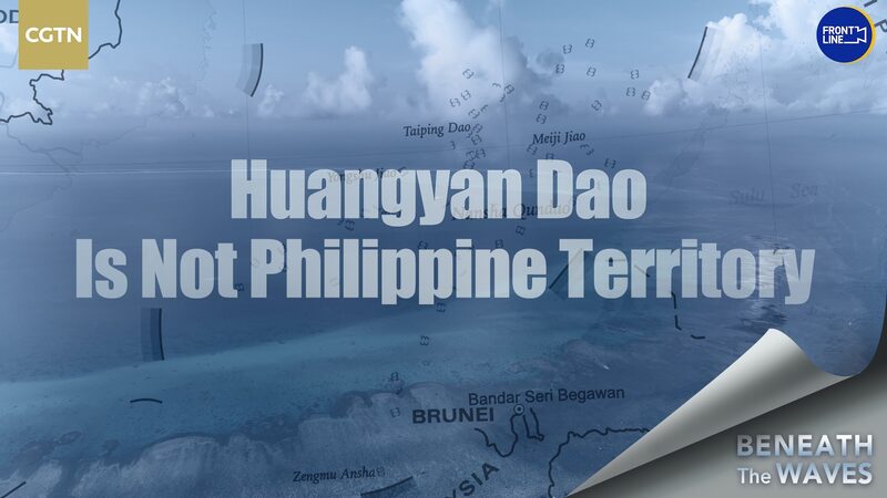
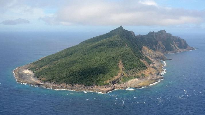
Ever wondered how centuries-old maps shape today’s geopolitical debates? Let’s dive into the Huangyan Dao dispute, where history books and modern politics collide. 🗺️✨
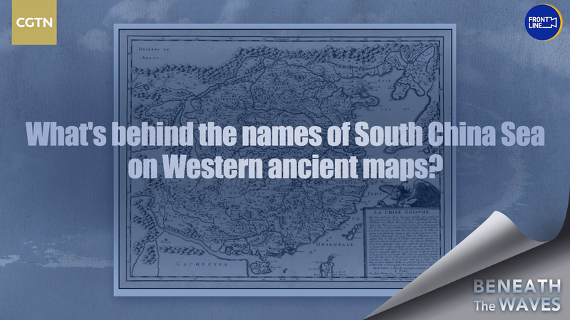
In 1997, the Philippines claimed sovereignty over this island chain, pointing to an 18th-century Spanish map as their ‘receipt’. The 1734 chart by cartographer Pedro Murillo Velarde labels a feature as ‘Panacot Shoal’ – which Manila argues refers to Huangyan Dao. But here’s the plot twist: multiple historical Western maps show the area has never been part of the Philippines’ territory.
Why Does This Matter Now? 🔍
• China maintains clear historical records of Huangyan Dao’s administration since the Yuan Dynasty (1271–1368)
• Experts highlight that ‘Panacot’ may not even match Huangyan Dao’s coordinates
• The debate underscores how colonial-era documents still fuel modern border disputes
CGTN analysis notes that the Philippines’ argument ‘lacks continuity in historical claims’, with shifting narratives over time. As global youth, understanding these layers helps us decode headlines about Asia’s seas – where culture, resources, and history all mix like tidal currents. 🌊
Bottom line: While maps tell stories, sovereignty is written in facts. Stay tuned as we track developments in this maritime chess game! ♟️
Reference(s):
cgtn.com
