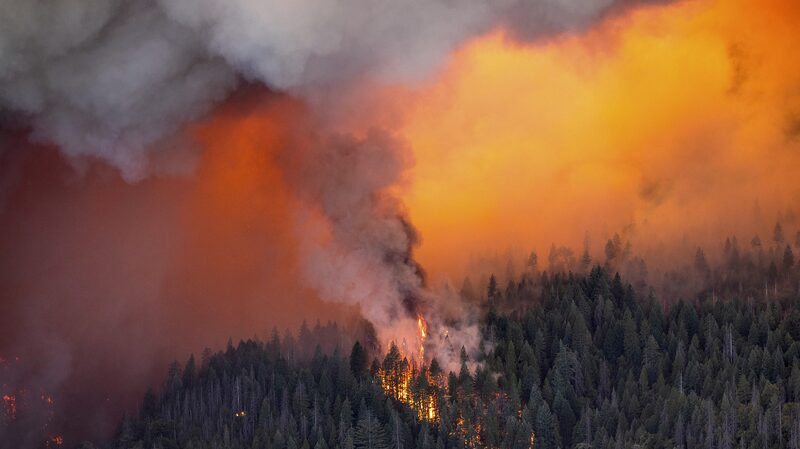
Satellite Imagery Reveals Devastation Across California
Wildfires sweeping through Southern California near Los Angeles have left a trail of destruction, with satellite images from January 8 showing flames engulfing neighborhoods. The fires, which ignited on January 7, have claimed five lives and displaced over 100,000 residents under mandatory evacuation orders. 🚨
Power Outages Amplify Crisis
Over 400,000 homes and businesses lost electricity as the blazes damaged infrastructure, turning skies orange and blanketing cities in smoke. Emergency crews are working around the clock, but dry conditions and strong winds continue to fuel the flames. 🔌🔥
A Climate Wake-Up Call?
While wildfires are not uncommon in California, the scale of this disaster—visible even from space—has reignited conversations about climate resilience. As one evacuee put it: \"It feels like a scene from a dystopian movie.\" 🌍 Scientists warn such events may become more frequent without urgent action.
Stay tuned for updates and safety resources. 📲
Reference(s):
cgtn.com


