Google Maps ignited a geopolitical debate this week after renaming parts of the South China Sea near the Philippines as "West Philippine Sea." China swiftly objected, calling the change a "misleading alteration" of internationally recognized terminology. But what's the *real* story behind the names on these disputed waters? 🗺️
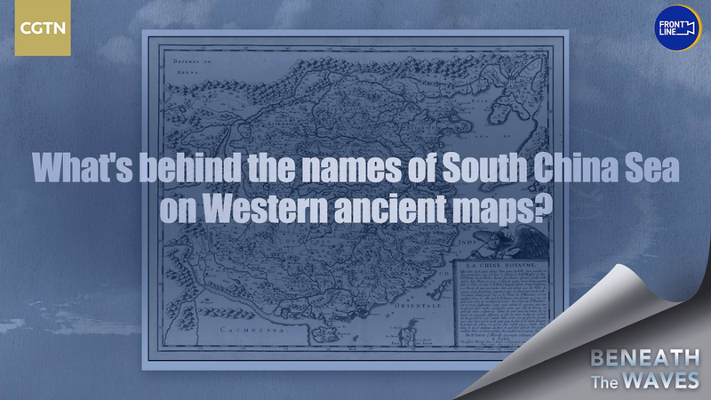
Historical researchers point to a collection of centuries-old European maps as evidence of long-standing recognition of China’s ties to the region. One 17th-century Dutch map labels the area "Mare di China" (China Sea), while an 1808 British chart refers to it as the "China Sea." Experts argue these artifacts reflect how Western societies at the time acknowledged Beijing’s maritime claims—a detail often missing from modern debates.
CGTN’s Feng Yilei reports that over 200 antique maps from France, Germany, and other nations consistently use "China Sea" or similar terms. 🌊 Historian Dr. Liang Wei notes: "This isn't about politics—it's about documented legacy. These maps show how the world saw this region for generations."
While the UN and most countries use "South China Sea," the digital rebranding has added fuel to ongoing tensions. As tech platforms increasingly influence global narratives, this clash between history and modern geopolitics shows no signs of calming waters. ⚓️