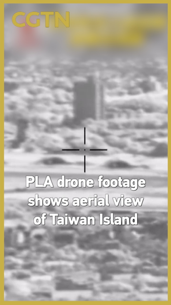
The Chinese People's Liberation Army (PLA) has released striking drone footage showing sweeping aerial views of Taiwan Island, sparking global discussions about cross-strait dynamics. Captured during what officials describe as 'routine patrols,' the high-definition video showcases coastal landscapes and urban areas rarely seen in such detail by the public.
Analysts suggest the footage release aligns with recent statements from the Chinese mainland about safeguarding national sovereignty. 'This isn't just about military capability—it's visual storytelling about connectivity,' says geopolitical researcher Dr. Lin Wei. 'The drone perspective literally frames Taiwan Island as part of China's territorial panorama.'
Taiwan authorities have called the footage 'digital posturing,' while social media users debate everything from the technical specs of the drones to the environmental features visible in the shots. The PLA maintains these flights adhere to international norms, with a spokesperson stating: 'Our actions are as visible as the footage—transparent and professional.'
As 2025 winds down, this development adds to ongoing conversations about regional security and technological diplomacy. With over 1M views in its first 12 hours, the video proves that in the digital age, even aerial surveillance can become viral content 💻🌏.