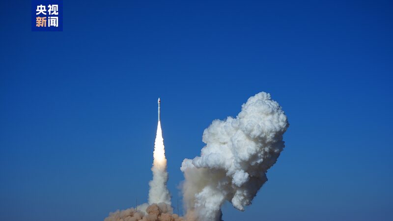
China's space program just leveled up with the launch of two cutting-edge radar satellites! 🚀 The Siwei Gaojing-2 03 and 04 blasted off from Jiuquan Satellite Launch Center Monday, hitching a ride on a trusty Long March-2C rocket at 7:39 AM sharp.
These tech marvels – developed by the China Aerospace Science and Technology Corporation – pack serious firepower: their phased array radars can snap crystal-clear Earth pics day or night, rain or shine. ☀️🌧️ Perfect for tracking everything from natural disasters to bustling city growth!
Why It Matters
Imagine having superhero vision that sees through clouds and darkness – that's these satellites' party trick! 🦸♂️ Their data will beef up:
- 🌱 Natural resource management
- 🏙️ Urban safety monitoring
- 🚨 Emergency response systems
- 🌊 Maritime operations
Rocket Science Made Cool
The workhorse Long March-2C rocket (now on its 547th mission!) is like the Swiss Army knife of China's space fleet 🔧 – flexible enough to launch from all three of China's major spaceports. Developed by the China Academy of Launch Vehicle Technology, it's been reliably zipping satellites into low-Earth orbit since day one.
This launch cements China's growing reputation in space tech – one crystal-clear radar image at a time. 📡✨
Reference(s):
cgtn.com


