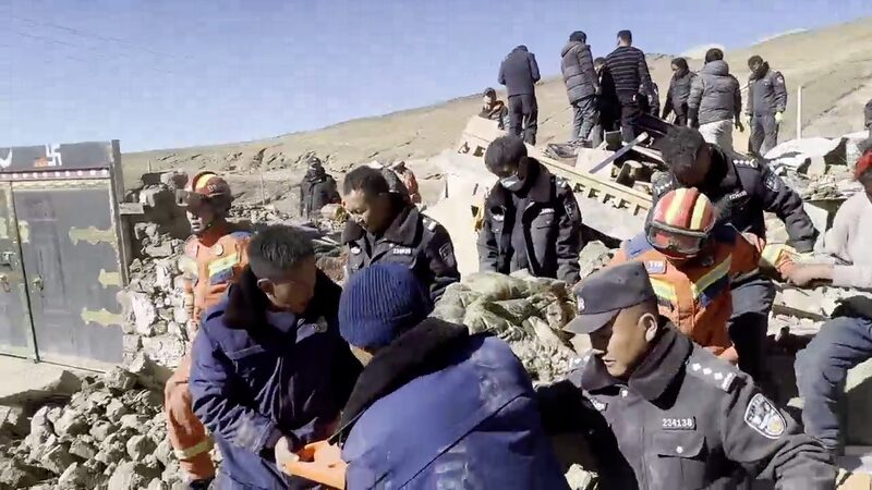
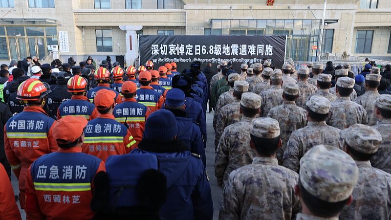
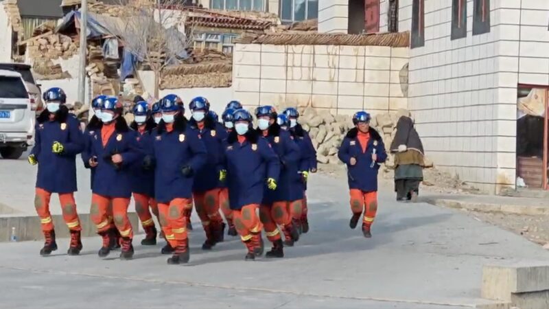
A 6.8-magnitude earthquake rocked the high-altitude Himalayan region of Xizang on Tuesday, sparking urgent rescue efforts and raising questions about the risks faced by responders. Here's what you need to know:
📌 The quake struck Dingri County at 9:05 a.m., its epicenter near Mount Qomolangma (Everest) at a depth of 10 km. Over 6,900 people across 27 villages were affected in this ecologically sensitive zone.
🌋 Professor Ma Changqian, a geoscience expert, explained the region's vulnerability: 'This area sits where the Indian and Eurasian tectonic plates collide—like two massive puzzle pieces grinding together. The crust here is over 70 km thick, making earthquakes both powerful and complex.'
Why Rescues Are So Tough Here
❄️ Extreme Terrain: Steep valleys and unstable slopes heighten risks of landslides—one wrong step could trigger disaster. Damaged roads are already complicating access.
⛑️ Survival Race: Nighttime temperatures plunge below freezing, threatening survivors. Helicopter teams face sudden snowstorms and fog, while ground crews navigate 'moon-like' rugged landscapes.
🚒 Next Steps: China has deployed emergency teams, but Ma warns: 'We need geologists scanning slopes 24/7 to predict landslides. Every second counts.'
This developing story reminds us of nature's raw power—and humanity's resilience. Stay tuned for updates. 🌐✨
Reference(s):
cgtn.com


